GNSS Systems
In the latest years, GNSS positioning systems have evolved to enable user-friendly and high-precision positioning using compact devices.
Faunalia is working with SoluTOP sas, a company specialized in the production of high-precision positioning electronic boards, both in real time and in post-processing. We can offer customized GNSS solutions, both in hardware and in software, to collect data on the field with centimetric precision.
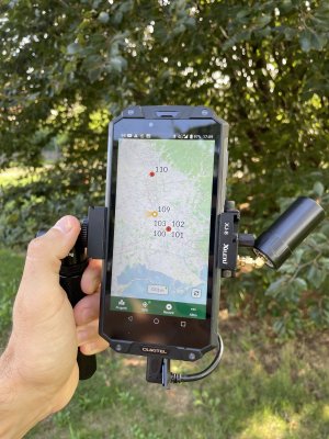
The multi-frequency, multi-constellation MS1-mini GNSS receiver can meet all of your needs, combining easiness of field surveying with a simple data-logger (Android device), with centimetric precision. Every software used in the device, including the NTRIP client, are entirely Open Source and easy to install. The system is sold in two configuration kits: the GIS version, ideal for quick surveys with centimetric precision, where the precise elevation is not needed, and Topographic version, ideal for high-accuracy surveys where the precise elevation is necessary.

These devices are fully compatible with every software offered by Faunalia (QGIS, Lizmap, PostGIS, MerginMaps, QField, and others).
Here you can find technical specifications and tutorials.
Contact us if you need a custom GNSS solution, or if you want to integrate a GNSS solution in an already existing system.