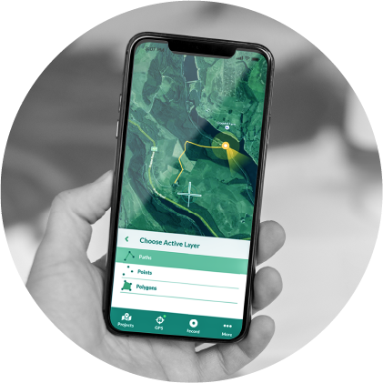
Mergin Maps: QGIS projects without limits
Mergin Maps is an open source platform for data collection, based on QGIS.
With Mergin Maps you can:
- Create and modify your project with ease, through the QGIS interface
- Synchronize easily with a central server, with automatic versioning
- Harness the power of QGIS forms and symbology
- Easily integrate with existing Spatial Data Infrastructure
- Connect to high accuracy GPS for better data collection
- Collect spatial data and photos

Faunalia, an official Mergin Maps partner, can provide:
- Training: QGIS project preparation, form setup, background maps, field data collection, sync, and much more
- Consultancy and support: survey project design, connection and synchronization with a centralized database, and custom solutions
- Development: through our partnership with Lutra Consulting, the Mergin Maps developers, we can offer further customization, whitelabelling, new features implementation, and much more!