WebMapping with QGIS
To learn how to use the most innovating and simplest environment to publish maps on the web, completely based in the QGIS stack.
Allows publish on the web maps created with QGIS Desktop, without any need of complex configurations operations.
It is necessary to have basic skills of GIS and cartography.
Course outline
-
How to choose the right WebGIS for you
-
The supersimple WebGIS: creating a Leaflet or OpenLayers WebGIS from a QGIS project, with just a few clicks
-
Creating simple 3D web application
-
The Open Geospatial Consortium standards for WebGIS publication
- WMS, WFS, WFS-T, WCS, WPS
-
Create your own server
-
Server optimization
-
Server security
-
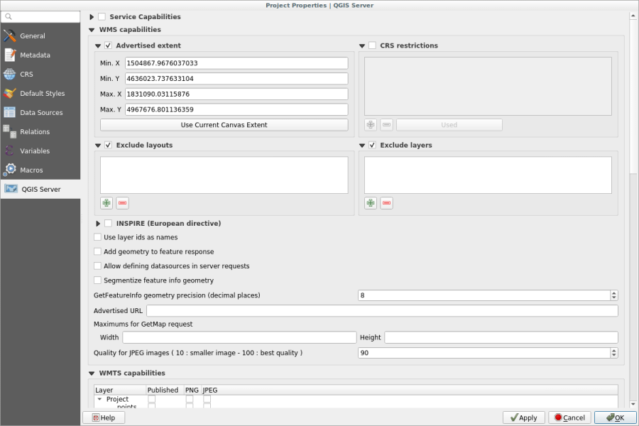
Installation and configuration of QGIS server
-
Publish WMS and WFS services
-
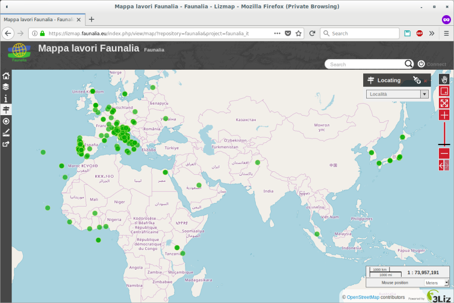
WebGIS rich clients: QGIS web client (demo) and LizMap
-
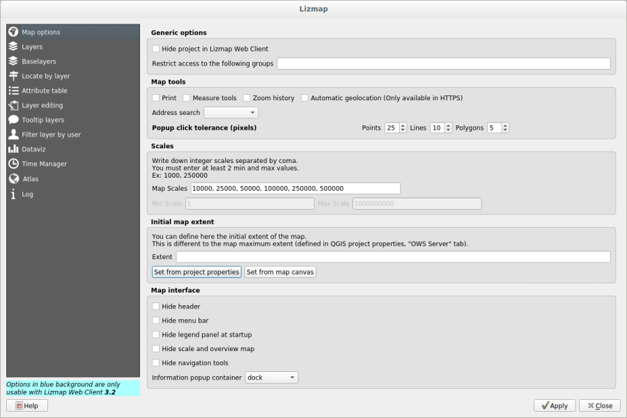
LizMap in depth
- basic functionality
- user guide
- administrator guide: installation and configuration
- user and group management
- guide for map publisher
- how to speed up your WebGIS
- editing online: WFS-T
Length
16 hours split in 4 half days